Ordnance Survey (OS), the national mapping agency for Great Britain, is one of the world’s most trusted map producers.
We were extremely pleased to be approached by the communications team at OS to produce a film which showcased the vast array of map data available. The accuracy and breadth of OS maps allowed us to reveal the structure of the UK and take the viewer on a ride through the exciting world of possibilities that OS offers.
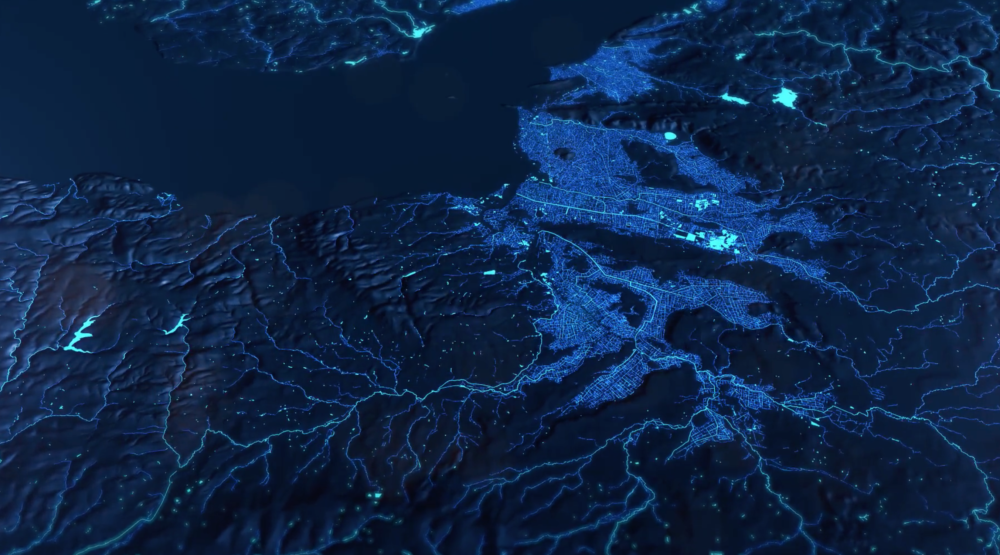
OS allowed us access to an array of mapping data; point cloud, contours, water, roads, flood data, which we then compiled, treated and visualised to bring the data to life as moving imagery. Telling the story of their current position as innovators in the world of mapping.
contour data
height data
city infrastructure data